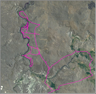
There are lots of examples of upper-tier sliding along the river. Possibly the most impressive is right across from Iron Point. In that case, the failing area is pinned on rhyolite. There are several landslides in this general reach that sole-out on rhyolite. Not sure whether they occurred when the river was at the level or if they freaking cascading over the rhyolite into the river. Probably the former since the latter sounds so cool.

There are many examples where the upper-tier sliding seems to be associated with an underlying LWID (like a lava delta) or otherwise incompetent unit (like a lens of mud). In some places, the lava deltas are obviously linked to massive landlsiding; in others, they support massive cliffs. Maybe when you peel away the top, they lead to massive landslides. Probably not that simple. Any thoughts? Anyone?


